
From August 20 to 21, at the request of the National Forestry and Grassland Administration’s Department of Protected Areas, a panel of experts from the Chinese Academy of Geological Sciences (National Geopark Network Center) visited Qinling Zhongnanshan Global Geopark to conduct on-site verification of its proposed boundary adjustment. Li Bo, Director of the Xi’an Qinling Ecological Environment Protection Administration, chaired the review and feedback meeting. Deputy Director Liang Yanping, Wetland Division Chief Sun Xu, and Deputy Director Wang Fang of the Qinling Zhongnanshan Gloabl Geopark Management Center accompanied the expert team throughout the inspection and discussions.
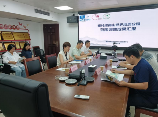
During the visit, the Management Center presented a special report on the overall progress of the boundary adjustment. The technical team provided detailed explanations of the adjustment plan, its rationale, key changes, current resource protection status, and preparatory work, systematically articulating the core approach and practical significance of the optimization—laying a solid information base for the field verification.
Following the briefing, the expert team conducted on-site inspections in key adjustment areas, including Huanggou Village, Lantian Ape-Man Site, Shui Lu An, and Wang Feng’s Former Residence in Lantian County, assessing the current state of geoheritage, ecological resources, and cultural relics. At Cuihuashan Scenic Area, the team inspected core geological features such as the first-stage rockslide scarp, Shuiqiuchi barrier lake, Taiyi Guanxing collapse remnant, Cuihuafeng main peak, Wind Cave, and Ice Cave, confirming the preservation status and protection measures. They also visited key science-popularization venues within the geopark, reviewed exhibition systems, outreach activities, and study-tour programs, and offered constructive suggestions for facility upgrades and improvements.

At the feedback session, the panel summarized the two-day findings, strongly affirming the necessity of the boundary adjustment. They conducted in-depth discussions on long-standing management challenges—especially ambiguous boundaries and unclear control zones—and offered valuable recommendations.

Director Li Bo expressed gratitude for the experts’ professional guidance. He noted that vague boundaries and unclear resource management perimeters are critical bottlenecks constraining the geopark’s refinement, standardization, and high-quality development. The panel’s feedback aligns with the broader Qinling conservation strategy, UNESCO Global Geopark standards, and the geopark’s long-term needs, providing clear direction and pathways for the adjustment. He then outlined specific next steps: First, fine-tune the adjustment plan with precision, proactively coordinate with supervisory authorities, the National Geopark Network Center, and sector experts; systematically consolidate and refine baseline data; address technical challenges point by point; and standardize submission documents to ensure a scientifically sound, compliant, and orderly process. Second, benchmark against the core criteria for Global Geopark revalidation—set up detailed checklists, assign responsibilities, enforce strict timelines, and close the loop on all actions—to comprehensively address gaps in management and protection, and steadily raise the geopark’s institutional capacity.
Moving forward, Qinling Zhongnanshan Global Geopark will leverage this field verification as an opportunity to integrate ecological protection, resource utilization, science outreach, and regulatory management; continuously optimize spatial layout; systematically preserve rare geological and cultural resources; and fully advance high-quality development in both Qinling ecological conservation and global geopark governance.
